Highlights of the Milford Road
The Milford Road (also known as State Highway 94) is much more than a way to get to Milford Sound. It’s an unforgettable journey into the heart of Fiordland National Park, and just as impressive as the destination itself. Find out about the top Milford Road highlights on the pages below.
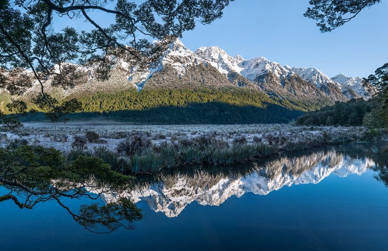
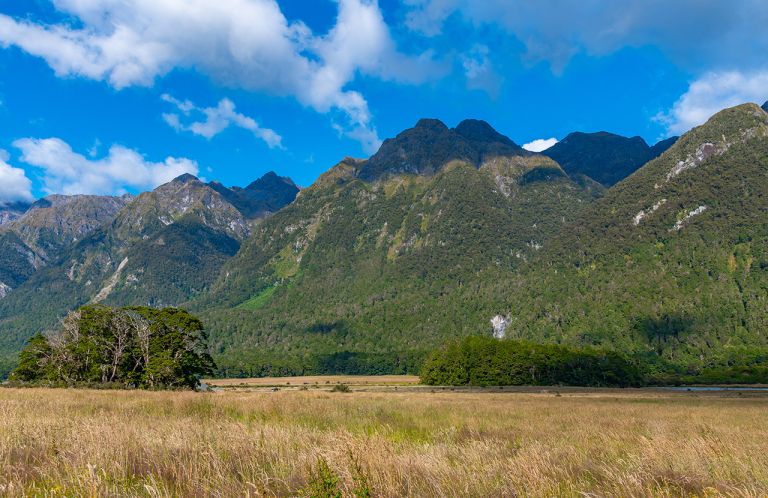
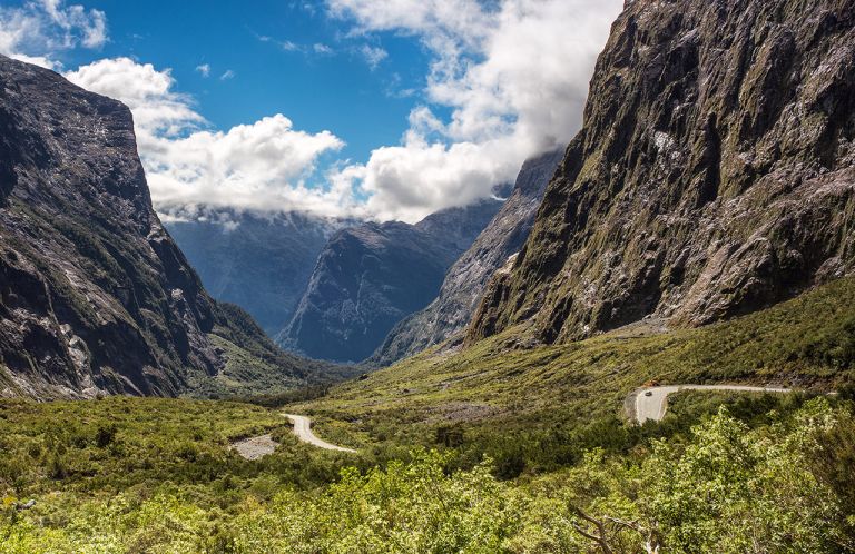
The road to Milford Sound passes through stunning landscapes including mountain ranges, glacier-carved valleys, clear blue lakes and native rainforest. It follows a path originally travelled by the Māori people, who journeyed by foot over the mountains to Milford Sound as early as 1,000 years ago to hunt, fish and search for pounamu.
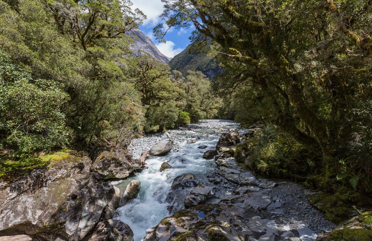
During your trip to Milford Sound you’ll cross the Main Divide of the Southern Alps and pass through valleys, alongside pristine lakes and rivers and thick native bush. At its highest point, the Milford Road is 940 metres (3,083 feet) above sea level.
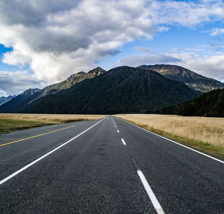

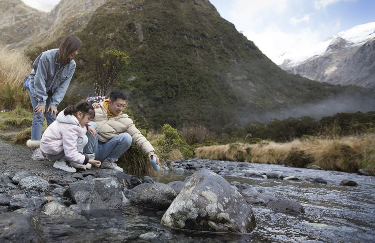
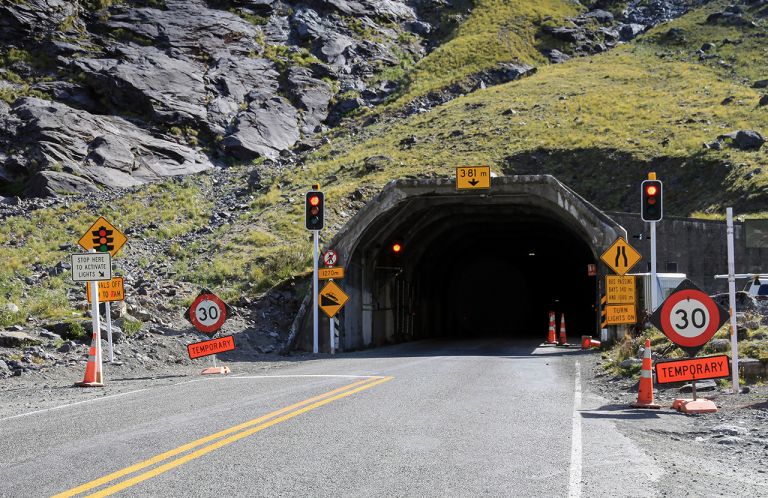
If you’re driving to Milford Sound check out our travel tips – otherwise, if you’re travelling on a Milford Sound tour your driver will most likely stop at these highlights so you can stretch your legs and take some photos.
The first part of the journey from Queenstown takes you past the Remarkables mountain range and along the shores of Lake Wakatipu. The road winds along the Devil’s Staircase as you travel south towards Kingston, the small town at the end of the lake famous as the home of the Kingston Flyer, a vintage steam train.
Passing through fields of rocky debris left as the last of the glaciers marched through thousands of years ago, we cross over into the Southland region and quintessential rural New Zealand terrain. Keep an eye out for deer farms as we travel through tiny rural towns on the way into Te Anau.


